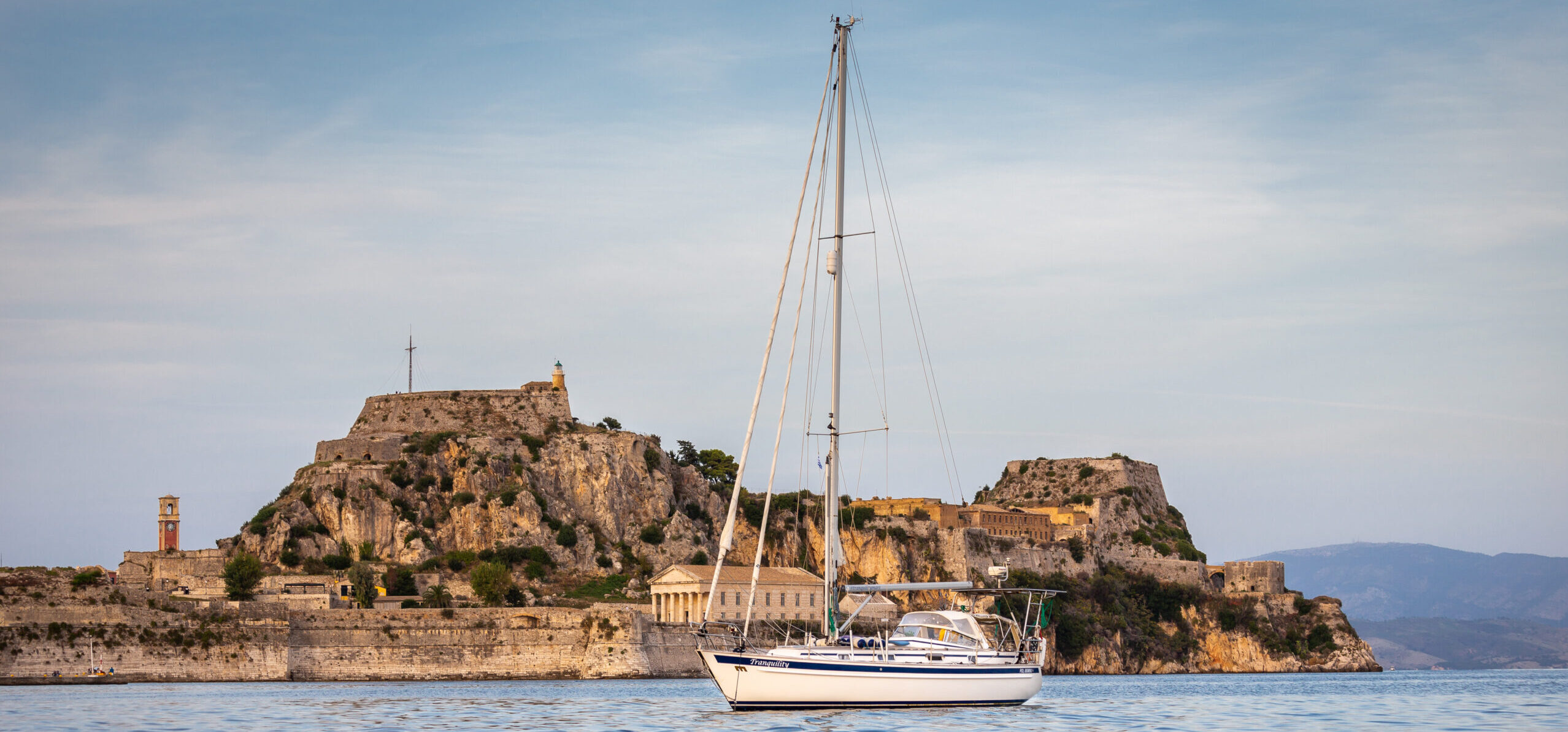
Welcome to the other side of the Kiel Canal! We will start today’s story with the passage of the lock onto the Elbe River. Then we will be sailing North Sea from Cuxhaven to Amsterdam. About the Kiel Canal transit itself you can read here in a separate post.
Sailing Elbe River to the North Sea
The Elbe River is not easy to navigate. Currents may exceed 5 kts. There is also lots of commercial traffic to and from the Kiel Canal and Hamburg. It is recommended that recreational yachts stay outside the buoy-marked fairway whenever possible. However, the shallows on both sides do not encourage leaving the safe, marked path. Crossing the river should be planned in accordance with the tides and currents. It is difficult to fight them, and an attempt to sail against the current of the Elbe is doomed to failure.
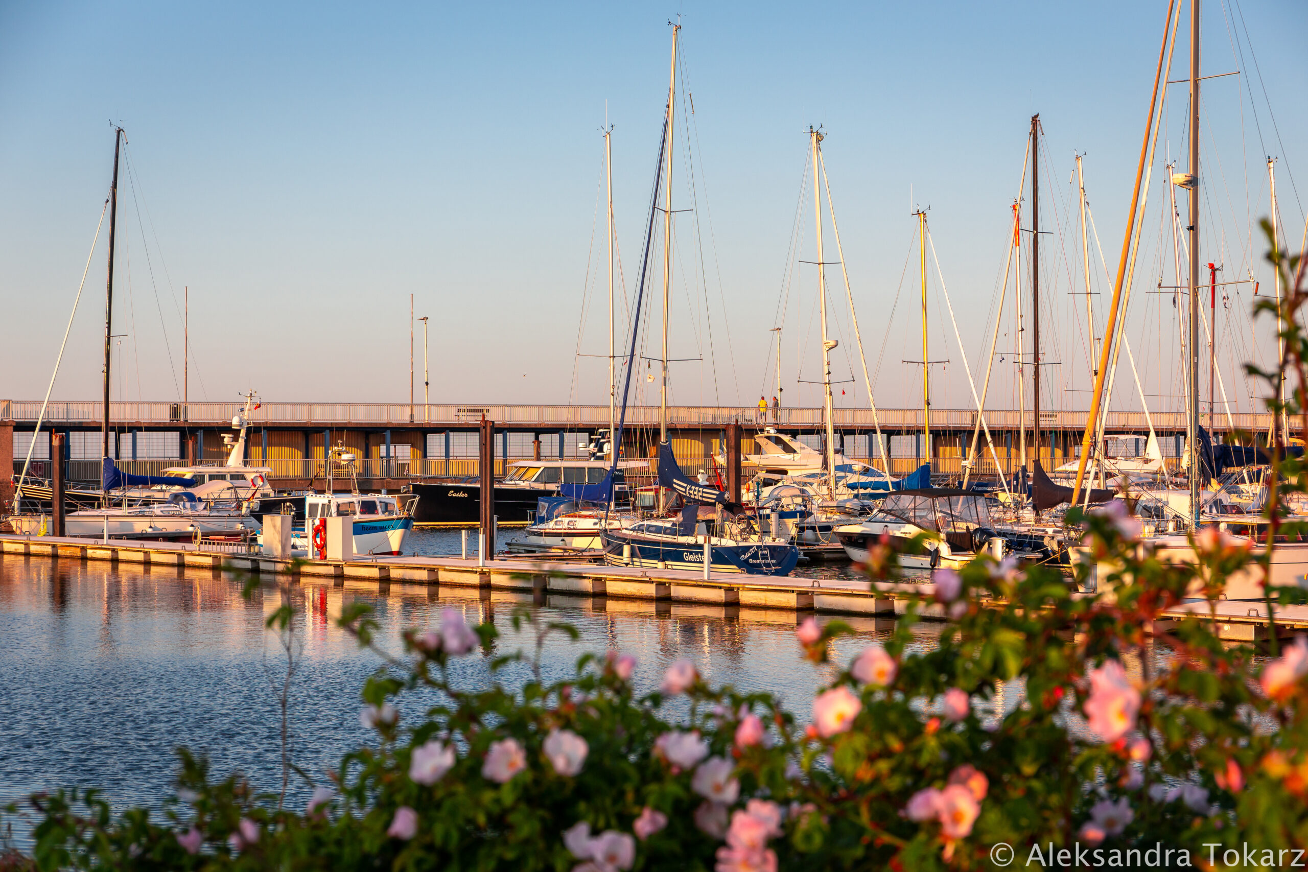
Brunsbüttel Marina
To adjust to the currents, we spend the night in the Kiel Canal, in the very small marina of Brunsbüttel. It is located just before the locks and is an ideal place to wait for favorable tides. Unless you happen to come across a festival of German folk music with a dance right next to the waterfront. And everyone around seems to be having a great time 😉 More information about this Marina in Kiel Canal Transit post.

Tides and currents
Here I will take a short break and briefly try to explain what currents and tides are. Knowing and understanding them is very important for navigation in tidal waters.
How tides are created?
Sea tides are cyclical changes in water levels caused by gravity. As the Earth rotates, it constantly changes its position relative to the Moon and the Sun. This causes changes in gravitational acceleration, which in turn cause tides. The largest tides (spring tides) occur when the influence of the Sun and the Moon overlap. It happens during the full and new moon. The weakest ones (neap tides) occur when the forces of Sun and Moon are at the minimum. Typically, one cycle (from one high tide to the next) takes about 12 hours. Long-term observations of this phenomenon resulted in creating the Tide Tables. Based on them, we predict the maximum and minimum tide heights for given locations.
Admiralty Tide Tables
The main source of tide information are the Admiralty Tide Tables (ATT). On their basis, other documents are created and, nowadays, mobile applications in which we can check the tides. We used Tides Planner and Boating (Navionics). Additionally, we have always compared this data with the Tide Tables in the Reeds Nautical Almanac, which we have in paper version.
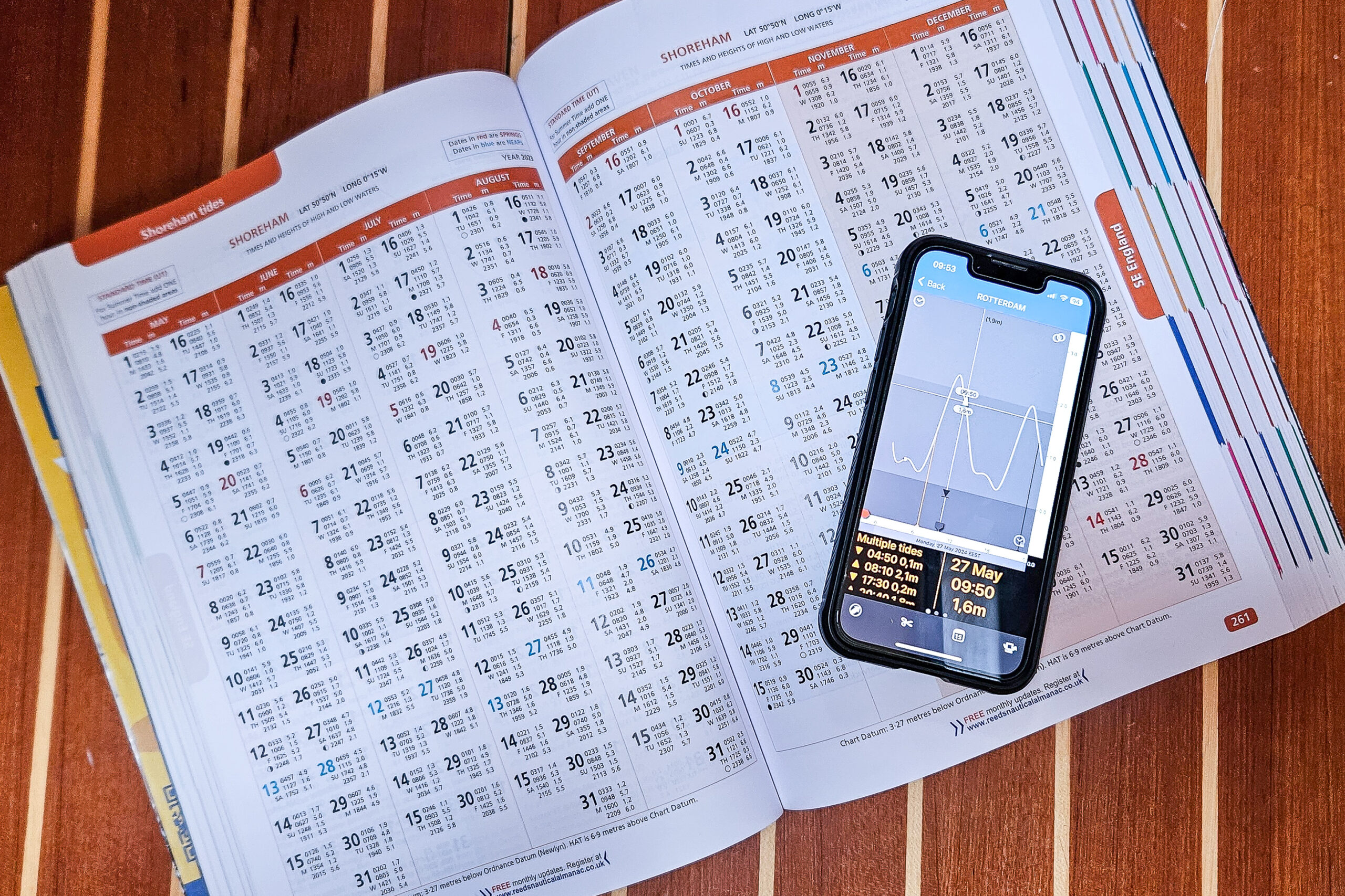
Sailing North Sea, and in particular the English Channel, you need to remember that it is a place with some of the largest tides in the world. During a spring tide, the water level difference is up to 12 m. The largest recorded one is over 16 m! There are places in the world where tides are up to 20 m.
Tidal currents
Tides naturally involve currents. An increase in water levels causes water to be pushed deeper into the land, and thus causes an incoming current. Receding water causes an outgoing current. Typically, the time when the water is calmest is when the tide is at its highest or lowest. If we’re talking about rivers, there’s also a river current on top of all this. There’s a lot to plan ahead!
Sailing Elbe river to Cuxhaven
Now you know why we waited for favorable conditions before we sailed the Elbe River. Our plan was to enter the next marina – Cuxhaven – when the water was as calm as possible. Attempting to enter this harbor during strong currents is dangerous, as evidenced by the large, extended “boat catching” nets on both sides of the entrance. But we’ll be back to Cuxhaven soon.
Going out onto the Elbe and maintaining a speed of 1 knot relative to the water, we are moving 6 knots relative to the ground. This means the current is still strong at 5 kts. We are a little ahead of schedule, as the locking for the small yachts took place earlier than we wanted to leave. But don’t worry, by the time we reach Cuxhaven the current will be decreasing. Initially, we sail on the southern side of the waterway, where huge container ships constantly pass. However, we quickly notice that the current keeps pushing us towards the shallows and land. We decide to cross the waterway to the north. This is quite a challenge – there is a lot of traffic. It takes us a long time to find a gap between the ships and cut through their path.
We can see the river current not only on the instruments. It is also very noticeable when passing the fairway buoys, which literally bend under the pressure of the water.
Reaching Cuxhaven, we decide to wait even longer for a change in the river current. So we set the sails and motor, maintaining our position against the river current and thus waiting for it to weaken. After about an hour we set off towards Cuxhaven, crossing the busy waterway again.
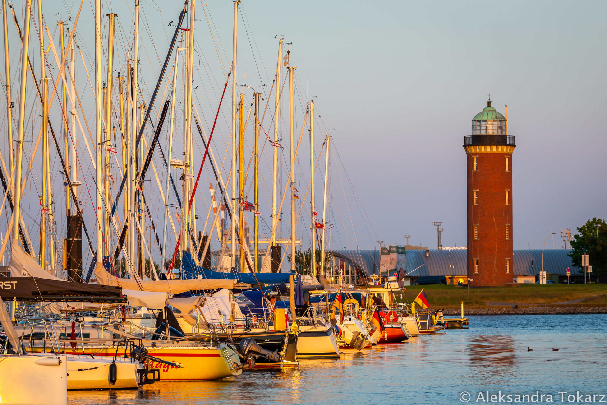
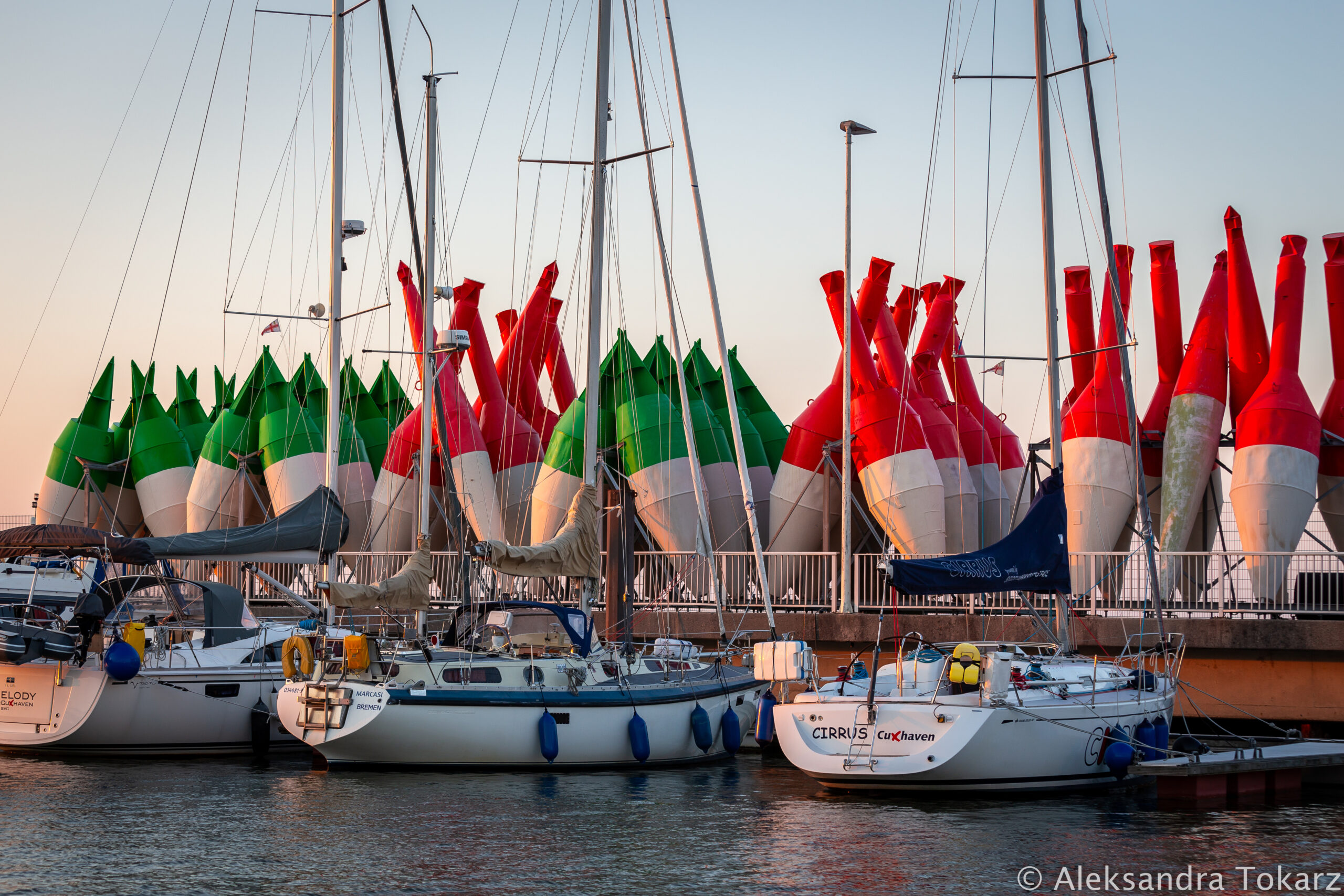
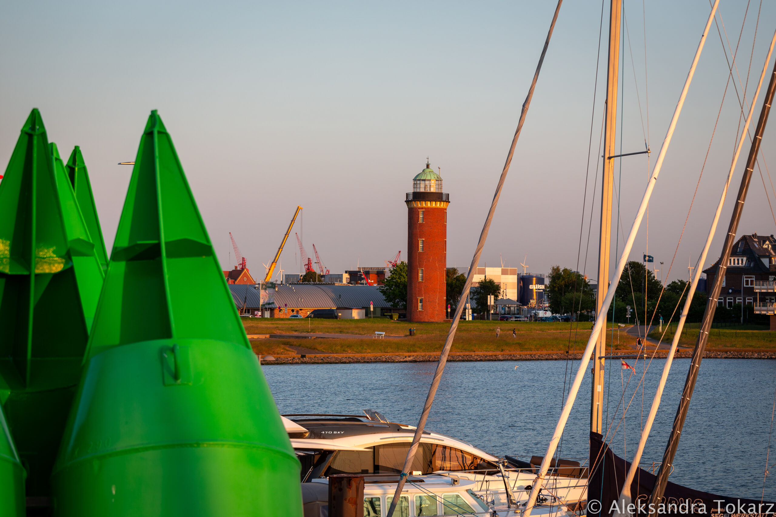
Cuxhaven marina
Cuxhaven is a modern marina with extensive yachting infrastructure. It is an ideal place when planning to go out West – sailing North Sea or east, towards the Kiel Canal. When entering the outer port basin, you should be especially careful because in this case the river current will be 90 degrees to your path. You will not necessarily move in the direction indicated by the bow of the yacht – the drift in this place can be huge! Even though we planned to enter the port in the calmest possible water, the yacht is still positioned sideways to the entrance in order to move along the given route. The protective nets on both sides of the entrance, which I wrote about earlier, suggest that not everyone managed to overcome the strong current.
The situation was very similar to landing a plane with a strong crosswind. Our aviation experience was useful here again. It is recommended to enter the outer port basin at high speed to reduce drift and keep maneuverability. If possible, a sound signal should be made (e.g. with a fog horn) to inform the vessels on the other side of the breakwater about the approaching yacht. Same procedure applies when leaving Cuxhaven. The avant port is large and sheltered. It provides enough space to reduce the speed, prepare for mooring or hang fenders. We definitely do not recommend making such preparations on the Elbe!
We spend two days in Cuxhaven for necessary shopping and technical matters – changing the oil in the engine and transmission, as well as the oil filter.

Sailing to Heligoland
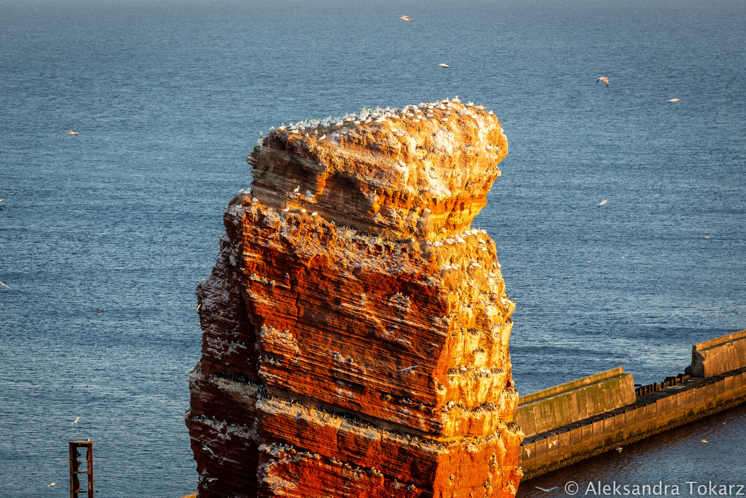
The next stop on the way West is Heligoland – an island in the North Sea that we have been planning to visit for a long time. We plan our departure from Cuxhaven again according to the tides of the Elbe River, which, combined with favorable winds, result in speeds previously unattainable for us. At the mouth of the river on the southern side we pass sadiments deposited by the Elbe and we are in the North Sea!
The visit to Heligoland, although short, was one of the highlights of the season. That’s why we decided to write a separate article about this island, along with sailing and tourist information, which you can find here.
Sailing North Sea to Amsterdam
After Heligoland, we set a course for Amsterdam. Unfortunately, the winds are not in our favor, so we move very slowly, first south and then west along the German coast.
Wadden Sea sailing
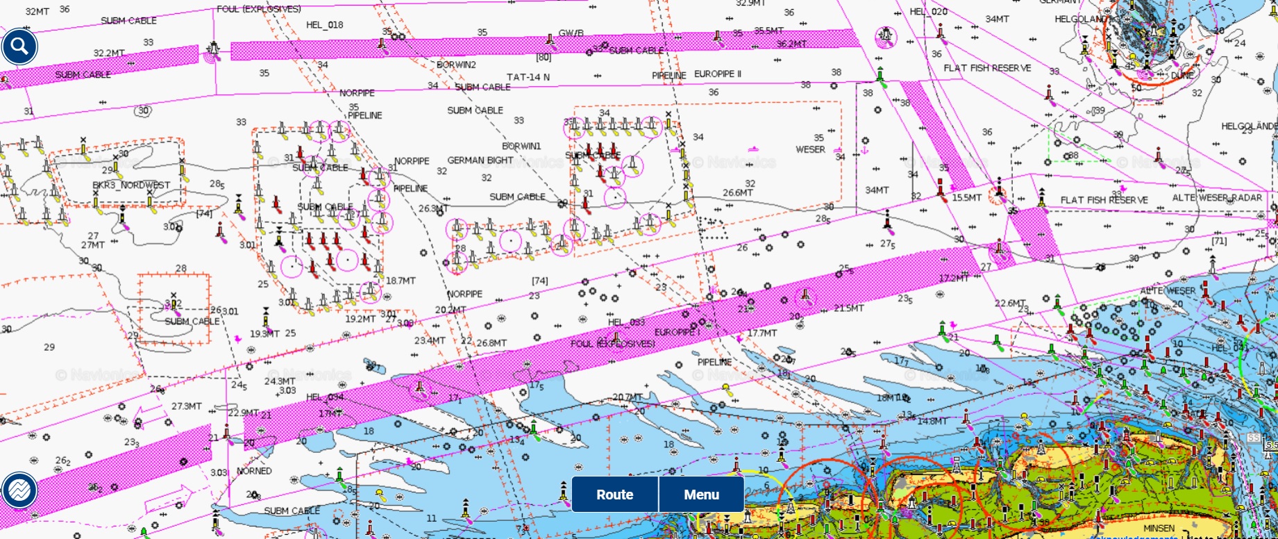
We slowly sail the Wadden Sea, stretching along the coast of Germany, the Netherlands and Denmark. Technically it is not a sea. The Wadden Sea is named after the fact that often you can wade through its shallows. That explains the Dutch name “Waddenzee”- “the wadable sea”. The sea does not have a good reputation among sailors. Shallows, which regularly changes its diameter and location with tides and currents, has caused more than one ship to run aground.
The route to Amsterdam is not boring and there is a lot to do. In addition to the shallows of the Wadden Sea and numerous TSS’es (Traffic Separation Scheme – highways for large ships, which I mentioned many times in previous entries), we have to avoid oil platforms and wind farms. And there are plenty of them here! Additionally, many structures are under construction. Even updated maps do not always keep up with the current stage of constructions. So, squeezed between the TSS and the shallows, avoiding wind turbines and looking out for those that spring up like mushrooms, we slowly sail to “Amsterdam’s port, where are sailors singing”.
The route from Heligoland to Amsterdam took us 52 hours. When entering the city through the canal, we have a lock in front of us. Tired after more than two days of continuous, intense sailing, we decide to stay for one day in the smaller marina of Ijmond on the outskirts of the city and just recover. Only the next day we enter the center of Amsterdam.
Visiting Amsterdam when sailing North Sea
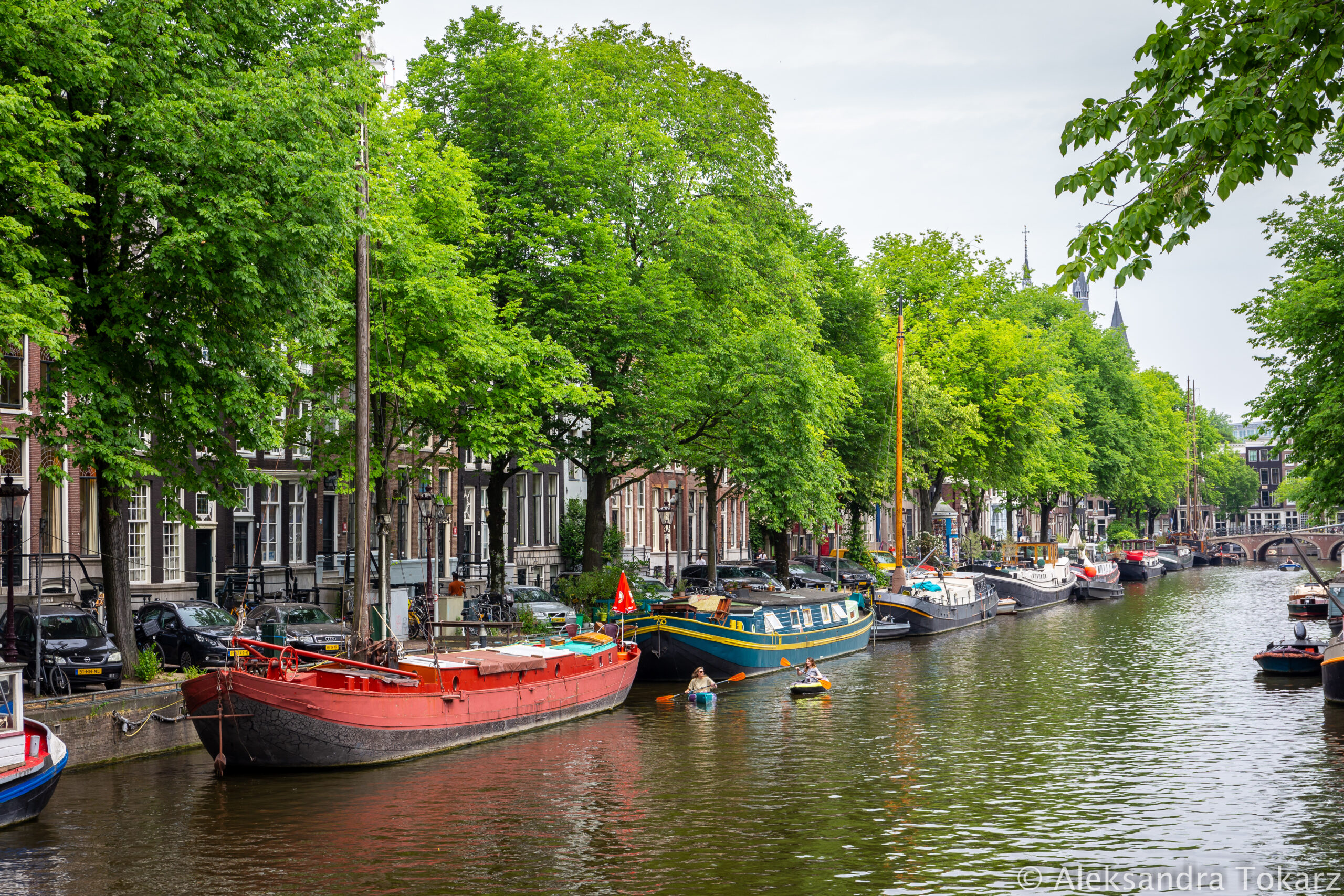
Marina Amsterdam is located on the north side of the Amstel River, but the city can be reached by a free ferry that runs very frequently.
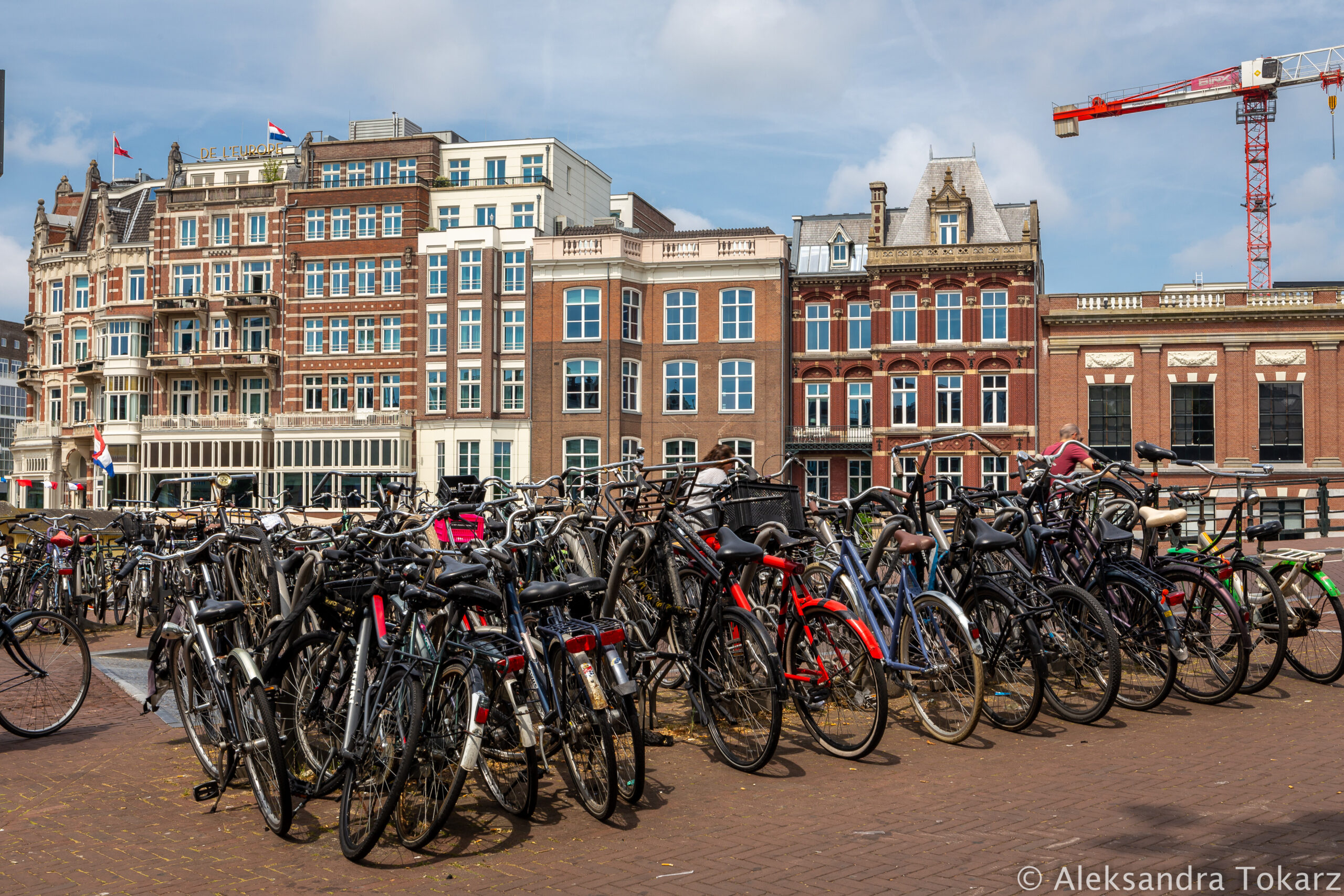
We plan our sightseeing as we usually like to visit cities. We search for “Free Walking Tours”, which are city walks with a local guide, usually also an enthusiast of the history and traditions of a given place. Thanks to this, in addition to crossing off the popular attractions from the list, we reach less touristy places and learn local curiosities that we will not read in any guidebook. This 2-3 hour trip allows you to get to know the city in a nutshell. Even though the tours are free in name, you need to pay the guide at the end accordingly. Depending on the place and the quality of the trip, it is usually 10-20€ per person. We most often use the Guru Walk application or search for local companies on the Internet.
What immediately strikes us in Amsterdam are the ubiquitous mountains of trash. On Sunday morning we thought that these were the remains of Saturday’s street parties, but after a few days we realized that this is simply the way it is here. I’m sorry to say that I haven’t seen such crap as in Amsterdam anywhere else in the world. And believe me, I have been to Asian cities that are not famous for their cleanliness.
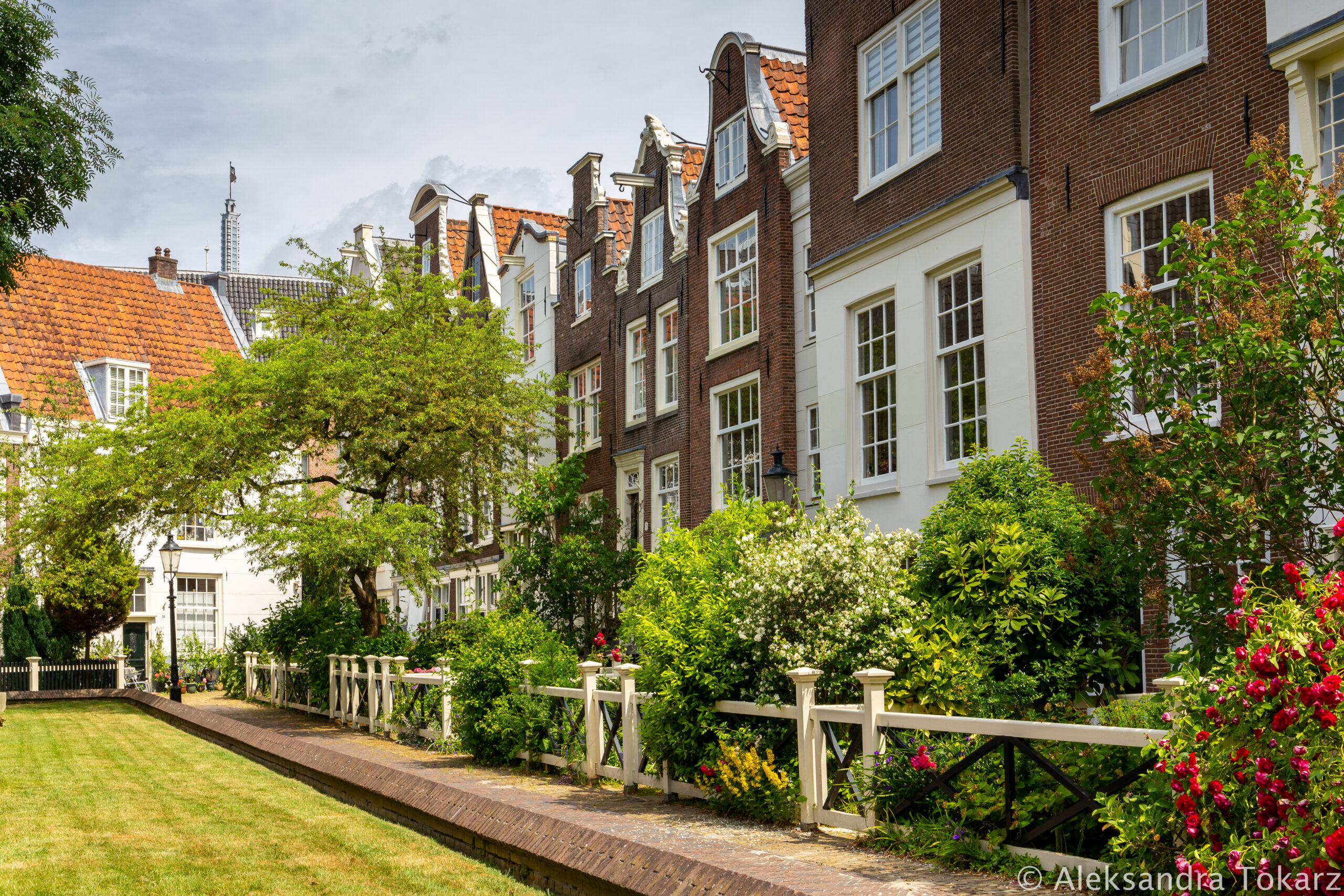
Below you will find a photo gallery from Amsterdam. I managed to capture some nice sceneries even though we were not impressed with the city. I will remember the mountains of trash for a long time.


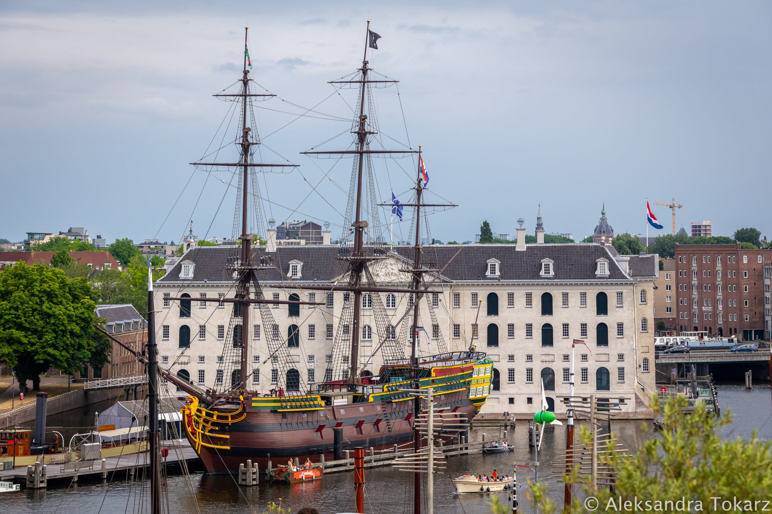
The National Maritime Museum in Amsterdam
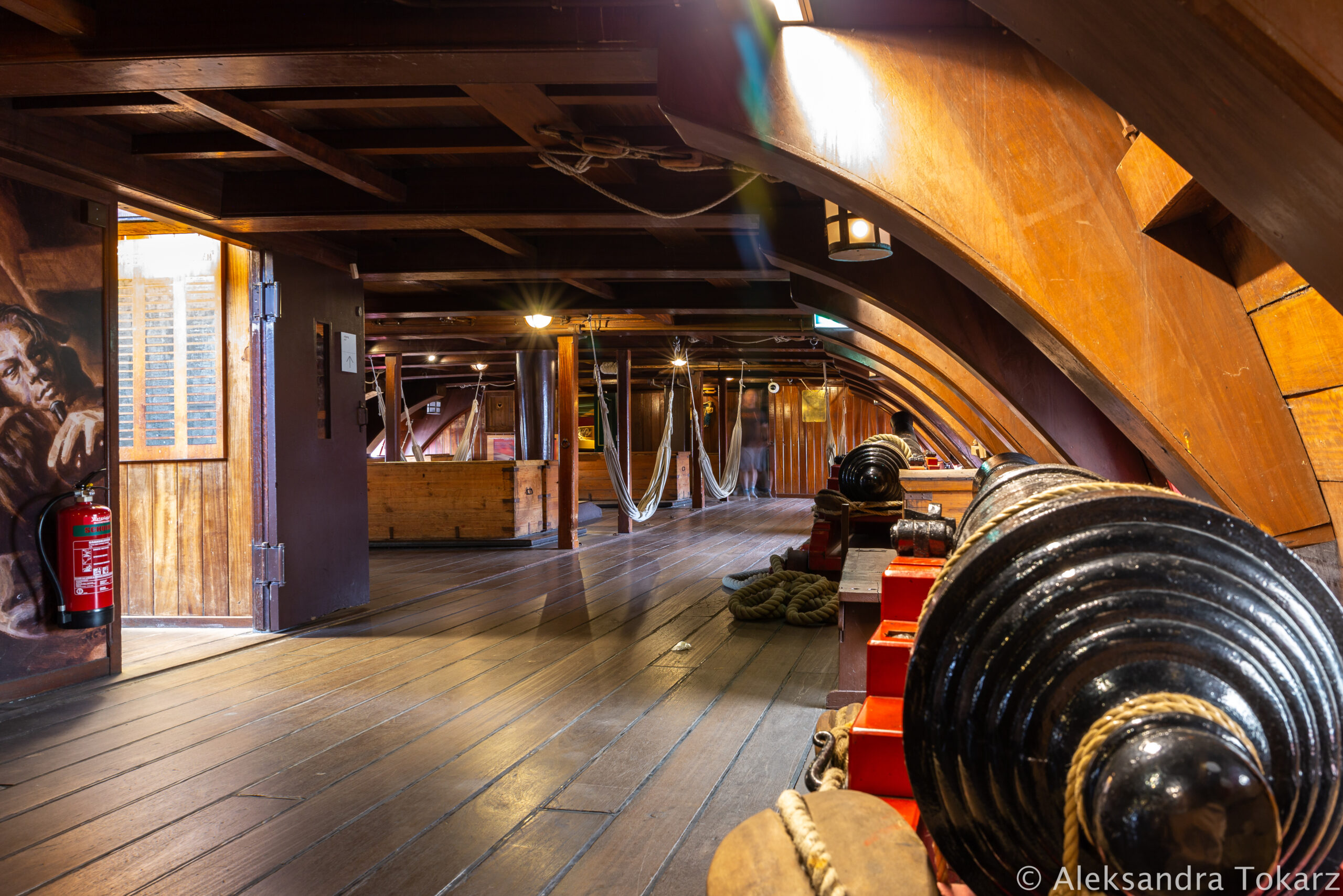
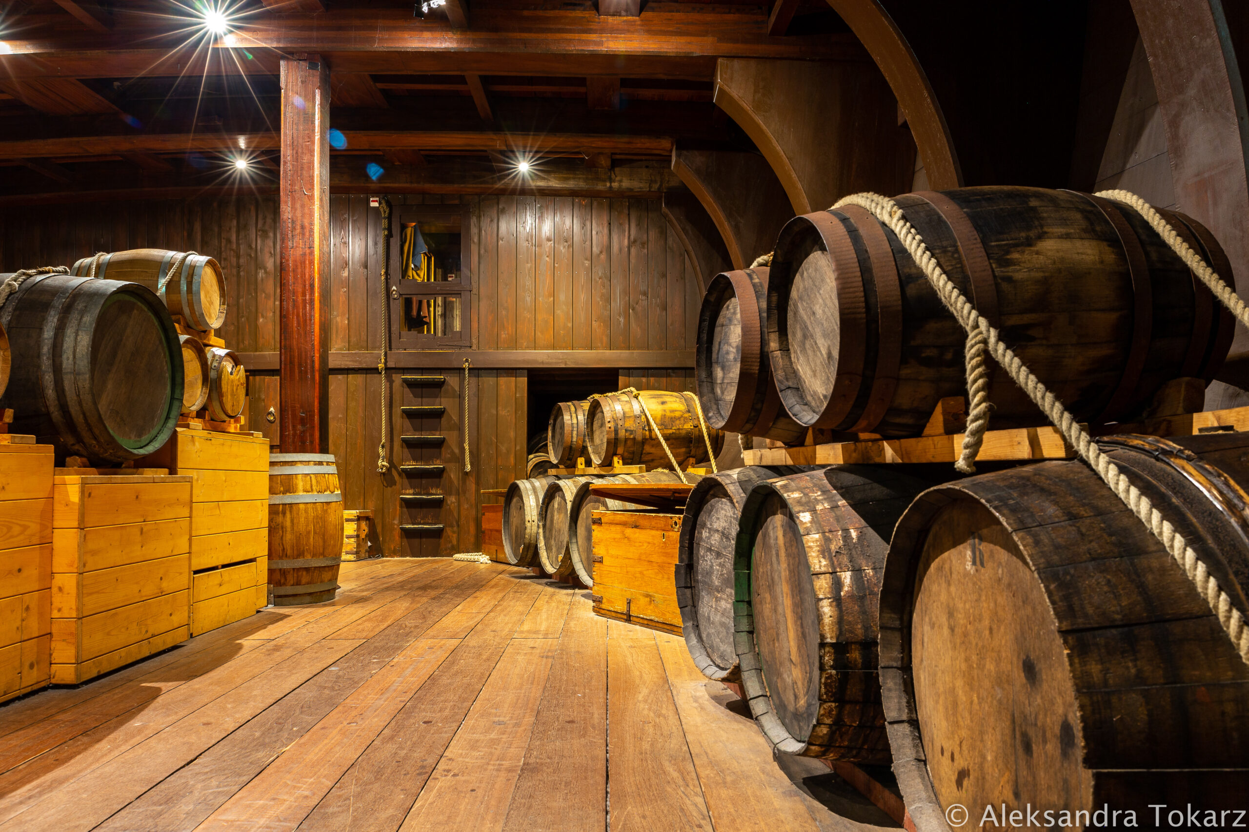
Amsterdam is famous for one of the best Maritime Museums in the world – The National Maritime Museum. We couldn’t skip it because we are interested in the era of geographical discoveries and colonial times. It was then that the Netherlands played a significant role.
The Dutch East India Company, operated since the 17th century, was the world’s first global corporation. In 1669, it was the richest company in the world, owning approximately 150 merchant ships, 40 warships, approximately 50,000 employees, own 10 thousand army and paying a 40% dividend on its shares. The museum has exhibits and displays from the times of the Company’s activity and full-scale replicas of ships. It is located in a building that used to be the Company’s headquarters. We also visited buildings that housed warehouses. Walk along the coast where sailing ships full of exotic spices and products from Asia once docked was like traveling back in time. Yes, the Company’s activities often involved plundering and subjugating weaker territories. Nevertheless, such distant journeys from the past, to places that could not be googled before, arouse great fascination for me.


Sailing North Sea: What’s next?
In the next module we will take you further west – we will visit Bruges in Belgium and be checked by the police at sea. We will reach Cherbourg in France, where… we will be searched by the police again and prepare to sail across the Bay of Biscay.


No responses yet